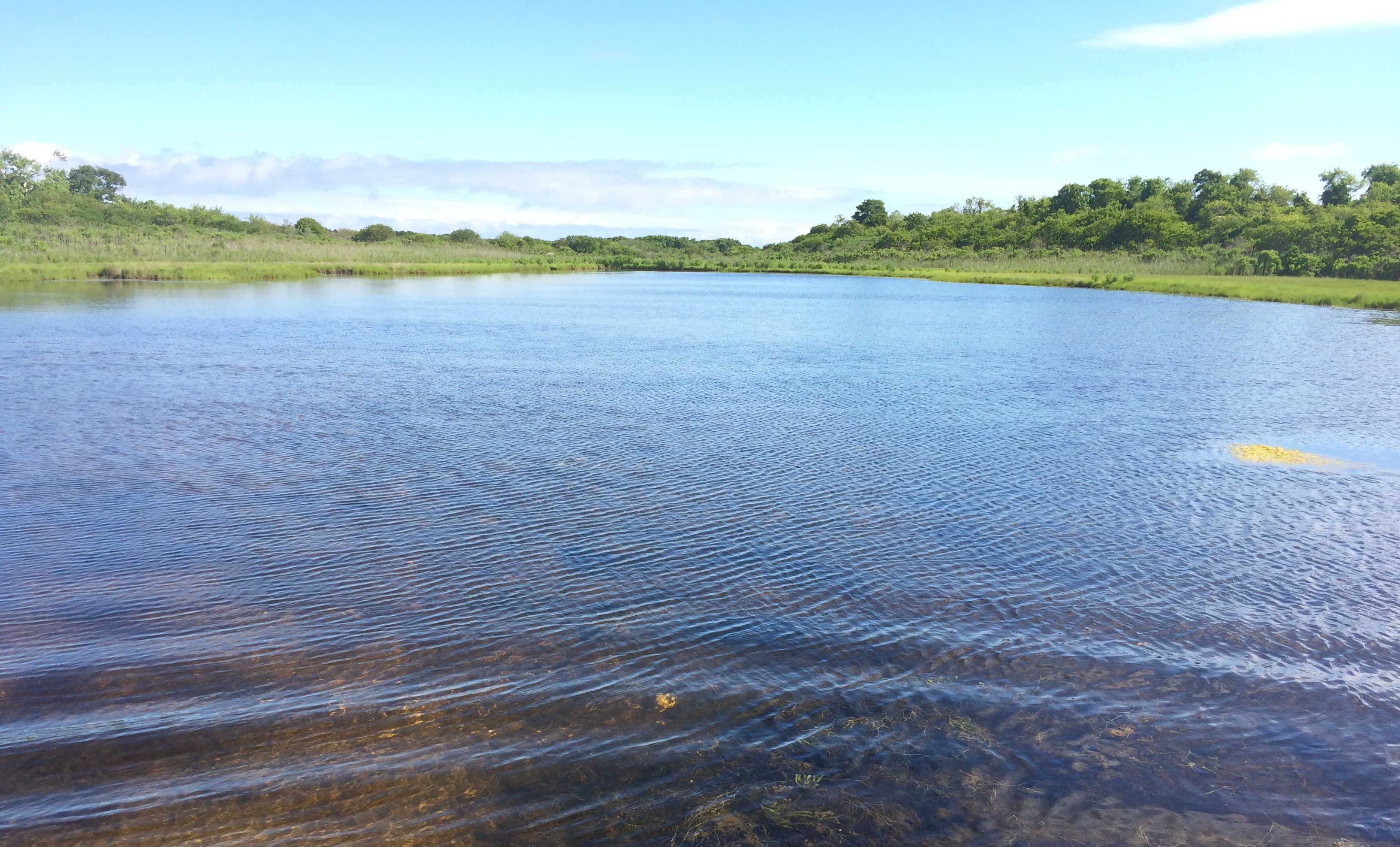
Get the most up-to-date information on water quality and related public health alerts in the Peconic Estuary. Invasive Species Alerts, Shellfish Bed Closures, Bathing Beach Closures and Harmful Algal Bloom Updates.
Suffolk County Bureau of Marine Resources has routinely monitored the water quality of surface and marine waters in the Peconic Estuary since 1977. In 1993, with the formation of the Peconic Estuary Partnership (then Program), PEP and Suffolk County have partnered on this endeavor. On a monthly basis, 38 marine locations in main bays and peripheral embayments, and an additional 26 stream and point source sites in the Peconic Estuary are sampled from boats or from shore to assess status of the Peconic Estuary. These data are sufficient to document seasonal variability and trends in the waterbodies being measured.
All Suffolk County Department of Health Services Peconic Estuary Water Quality Data and Information is available on the PEP Central Data Hub linked here.
The Peconic Estuary Partnership in partnership with Suffolk County and the United States Geological Survey (USGS) to install three continuous monitoring stations in the Peconic Estuary, one located in Orient Point Harbor, one located on the South-side of Shelter Island, and one located at the mouth of the Peconic River under the 105 bridge in Riverhead. Together, these three monitoring systems provide temporal and spatial sampling of the water quality conditions within the estuary. Data is collected every 6 minutes.
Riverhead USGS Water Quality Monitoring Data
Orient Point USGS Water Quality Monitoring Data
Shelter Island USGS Water Quality Monitoring Data
From May – October, NYSDEC compiles and provides notifications of known HAB locations in NYS when they are reported provides current information about Harmful Algal Blooms that have been detected within New York State waterbodies here.
If you are harvest shellfish, be sure to check out closures before heading out to your favorite clamming spot at NYSDEC Shellfish Closures page and Temporary Shellfish Bed Closures.
For the most up to date temporary emergency closure information, please call the hotline at (631) 444-0480. A recorded message is available 24 hours a day, including weekends. During emergency closures, the recording will give the most up-to-date information about which areas are affected by the closures. Descriptions of the closure lines will also be provided. For any other questions, please call the main shellfish office at (631) 444-0492 during normal business hours, Monday through Friday 8:30 AM until 4:45 PM.
This interactive map shows shellfish closures, conditional harvesting programs, shellfish harvest zones, aquaculture lease sites, and water sampling locations.
The Suffolk County Department of Health Services (SCDHS) conducts a comprehensive bathing beach water quality monitoring program from May through September. A telephone Beach Hotline message (631-852-5822) is routinely updated to reflect any changes in beach status.
Long Island Groundwater Quality Map
The WaterTraq program is the first of its kind in New York state. It allows water suppliers, health officials, industry professionals and the public to research contamination by location, compound, depth of wells and other criteria. WaterTraq blends interactive maps with data from Excel to give a picture of water quality on Long Island. Users can search for levels of nitrates, iron, volatile organic chemicals or other compounds, and can even set limits for data, such as being above or below safe drinking water standards. They also can overlay topography, boundaries, and contours to show the depth to groundwater.
The Long Island Invasive Species Alerts reports aquatic invasive species detected in low abundance in this area, so make sure you check back periodically and be on the lookout! If you find an unusual or harmful aquatic plant, report them to the Long Island Invasive Species Management Area (LIISMA) or iMAP Invasives.