While increases in annual precipitation are expected to be relatively minor, the amount of precipitation falling as part of an "extreme" precipitation event and the frequency of such events is expected to increase, an increase in total rainfall of 1% to13% by 2050—periods of drought are also expected to increase.
As an increasing amount of carbon dioxide (CO2) accumulates in the atmosphere, there is a similar increase in the amount of CO2 that is transmitted to the oceans. When CO2 dissolves in salt water a series of chemical reactions take place that result in a decrease in the overall pH of the water, meaning that the water becomes more acidic. The process is called ocean acidification. The ocean pH is now lower than any time in the last 420,000 years and if current trends continue, the average pH of the oceans could drop by as much as 0.5 pH units relative to preindustrial levels.
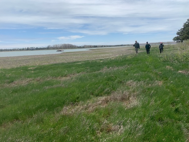
The Peconic Estuary’s surface waters support valuable habitat, recreation, and fisheries. Groundwater is the primary source of drinking water for the surrounding communities and freshwater for the watershed’s river, ponds, wetlands, and the Estuary itself. It also maintains the estuary’s saline balance.
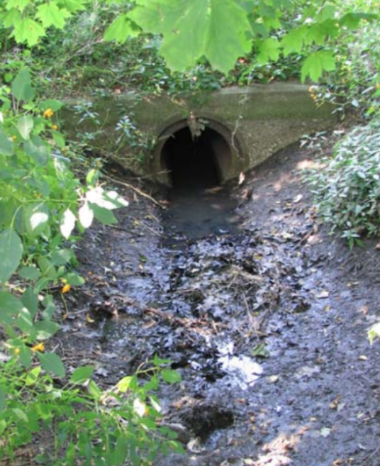
The watershed’s surface water and groundwater, which are monitored and protected closely, face numerous pressures. Nutrients in groundwater (primarily from septic systems), contaminated runoff from impervious surfaces, lawns, agricultural areas, and golf courses, and atmospheric deposition of nitrogen have affected the Peconic Estuary’s water quality. Changes in precipitation patterns, in particular the projected increases in total precipitation and extreme rain events, will likely lead to increased land-based runoff of nutrients, herbicides, and pesticides, which may also lead to increased atmospheric deposition. Additionally, increased coastal inundation will likely result in regular septic system overflow in coastal communities, either through regular tide cycles or elevation of groundwater levels. This will lead to increases in the amount of nitrogen and pathogens transmitted directly to estuarine waters.
Nitrogen pollution is one of the most serious threats to the water quality of the Peconic Estuary and the main cause of harmful algal blooms (HABs). These factors contribute to the loss of critical eelgrass and wetland habitats.
Groundwater pumping has caused saltwater intrusion and reduced discharges to streams, ponds, coastal wetlands, and estuaries. These issues are exacerbated in the following ways:
- Changes in precipitation—especially the projected increases in total precipitation and extreme rain events—will likely lead to increased land-based and atmospheric inputs of nutrients.
- Increased nutrient inputs plus warmer water may lead to more HABs, eutrophication, and hypoxia in salt and fresh surface water. The occurrences, types, abundance, distribution, and duration of harmful algal blooms in Peconic Estuary waters are impacted. Additionally, since harmful algal blooms generally occur during the warm summer season, increasing water temperatures may result in earlier and more frequent blooms. Warming temperatures could also prevent mixing of the water and allow the algae to grow thicker and faster.
- Increased rain events and coastal inundation will lead to regular inundation of septic systems in coastal communities—either through higher tides or elevated groundwater levels—which could increase the amount of nitrogen and pathogens transmitted directly to estuarine waters.
- Coastal inundation changes the depth of freshwater and saltwater interface, which would threaten Long Island’s drinking water supply and the Peconic Estuary’s freshwater-fed habitats.
Peconic Estuary is facing a loss of eelgrass, wetlands, and other marine habitats, which provide an important feeding and nursery habitat for recreational and commercial fisheries.
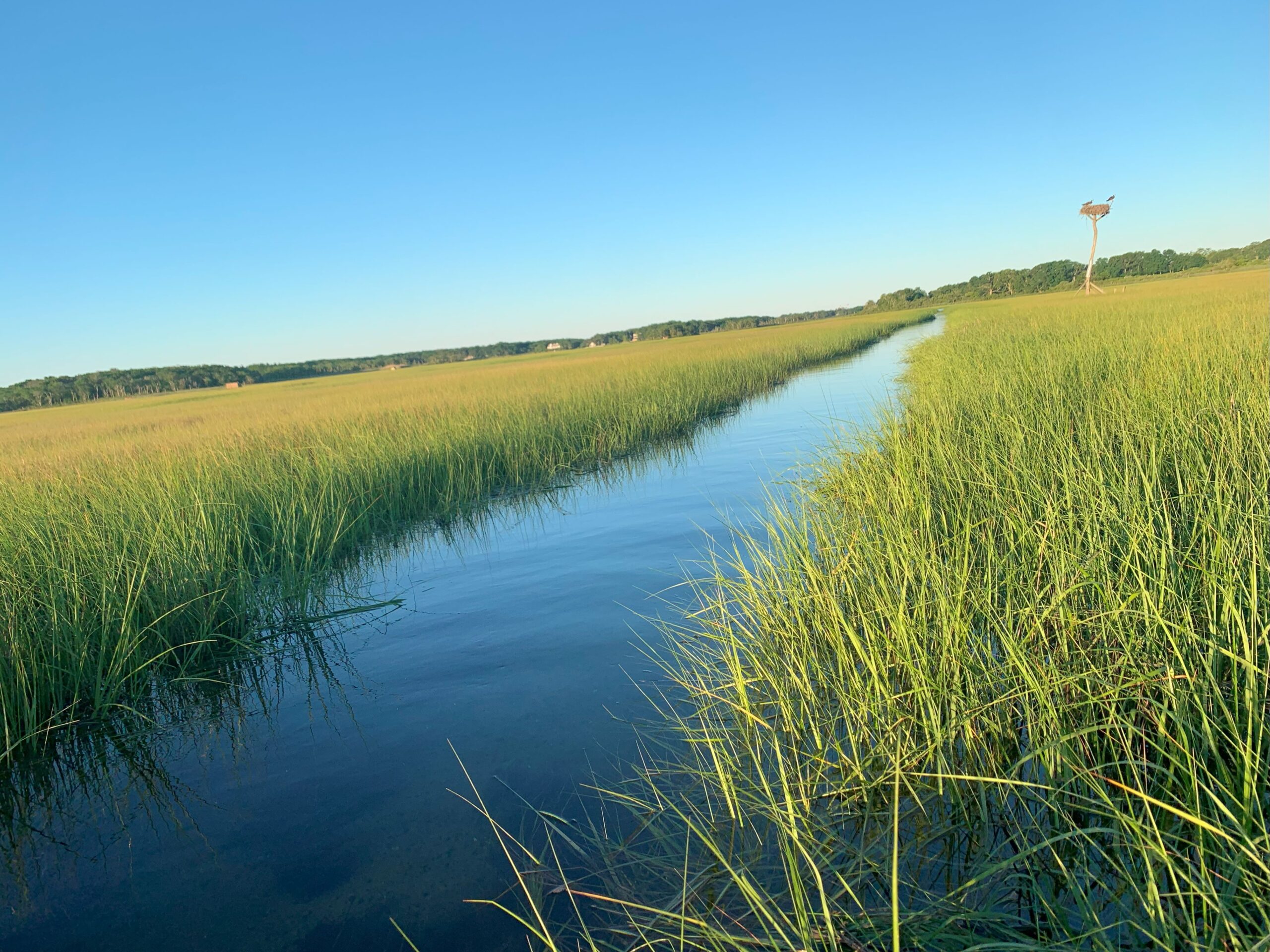
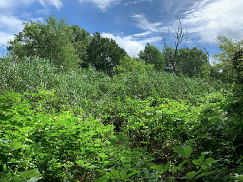
Wetlands
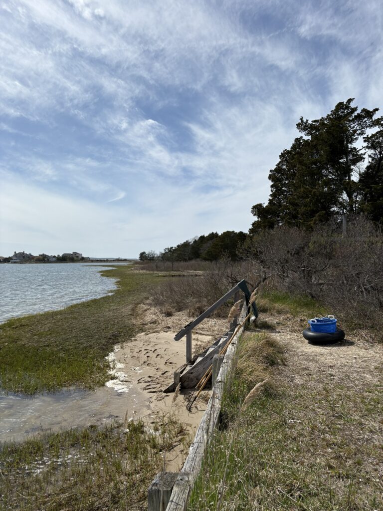
Wetlands can migrate inshore gradually with rising water levels. However, the rate of coastal inundation is making it difficult for wetlands to migrate inshore fast enough. In many cases around the Peconic Estuary low marsh plants are not able to hold their ground and high marsh plants are becoming more dominant in wetlands. In areas with significant coastal development and shoreline hardening, coastal habitats will be prevented from migrating landwards as sea level rises.
Large areas of wetlands have been protected by municipalities and preservation stewards because they are important to commercial and recreational fishing and as nurseries for aquatic species. Because of their ability to absorb storm energy, wetlands are increasingly seen as a first line of defense against storm surge, adding to their value in land preservation.
Although wetlands can migrate inshore with rising waters , several factors can affect their migration, including the rate coastal inundation, shoreline type, sedimentation rates, and property development.
Narrow coastal areas can block migration pathways in nearshore areas. Without sufficient sediment supply, low marsh wetlands drown as migration pathways are blocked.
Eelgrass
Eelgrass is often used as an indicator of estuarine health and water quality. Commonly found in shallow areas of high light penetration, eelgrass is already affected by water quality issues, harmful algal blooms, and boating. Eelgrass may be critically stressed by changes in salinity, water temperature, and ultraviolet radiation if protection measures are
not implemented.
The great variety of habitats in the watershed supports diverse plant and animal species and populations. Changes in water temperature can alter the mix of species throughout the Peconic Estuary, Since the estuary consists of a diverse community of native marine species which rely on specific food resources and habitats to survive, it is unclear exactly how a range shift of immigrating warm water tolerant fish species to the estuary and emigrating cold water fish species from the estuary will alter ecosystem dynamics for native community members. Additionally, changing precipitation rates, as well as saltwater intrusion, have the potential to threaten species in the following ways:
- Changes in temperatures may result in an increase in non-native pests. These changes will increase saltwater intrusion, posing a threat to freshwater plants if saltwater extends landward beyond the current saltwater/freshwater interface, and changing precipitation patterns will affect plant growth.
- Ocean acidification will hinder the ability of calcifying organisms, such as shellfish, to build their shells or skeletons.
- The occurrence, types, abundance, distribution, and duration of HABs in the Peconic Estuary are affected.