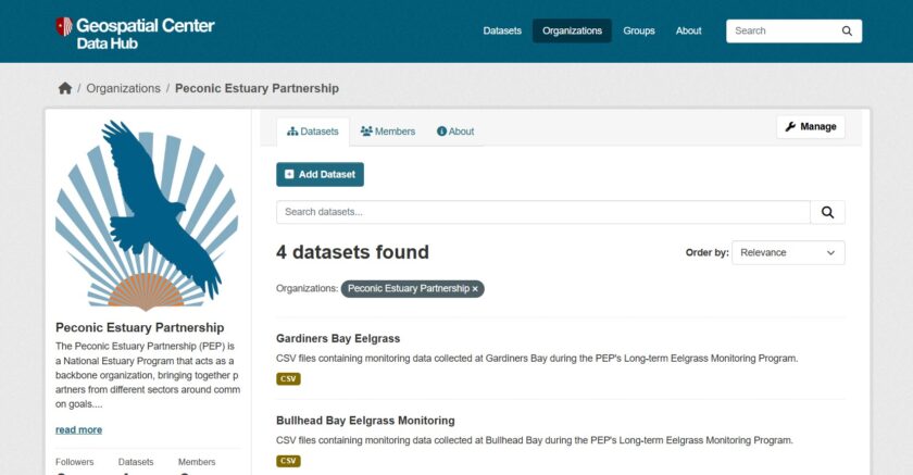
Explore the PEP Data Hubs!
The Data Hubs provide easy access to Estuary- related data to the public, partner organizations, stakeholders, and more.
The PEP Data Hubs consist of two data portals:
- PEP’s Central Data Hub organizes files such as project reports, research findings, QAPPs, and meeting minutes.
2. The GIS Data Hub organizes and displays geospatial mapping data.
GIS Data Hub includes PEP maps and datasets related to:
Natural Resources
Hardened Shorelines
Water Quality
Land Use
Boundaries
Imagery