Protecting & Restoring Long Island's Peconic Bays
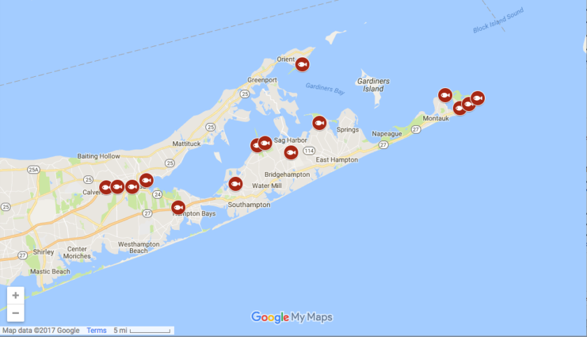
Interactive maps and ArcGIS story maps.
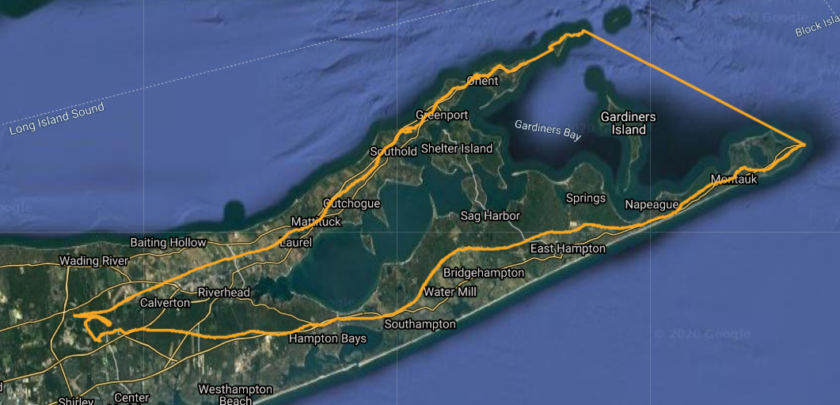
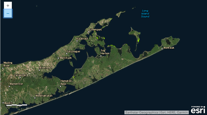
Peconic Estuary Partnership’s watershed boundary and other estuary program boundaries.
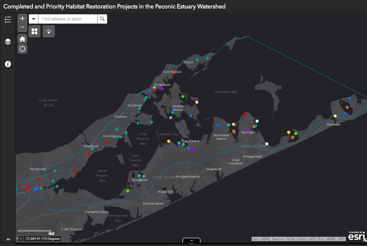
Informational map about habitat restoration projects in the Peconic Estuary.
Informational maps about alewife in the Peconic Estuary.
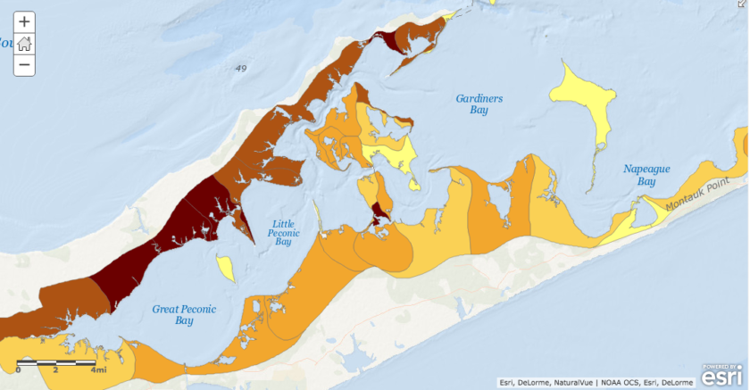
Informational maps about seagrass in the Peconic Estuary.
Nitrogen Load Reduction Best Management Practices (BMPs)
The map below provides a list of nitrogen reduction BMP available technologies for each parcel in the Peconic Estuary Watershed. Click arrows on the upper left to a list of available layers, and zoom in to select the layers to display on the map.
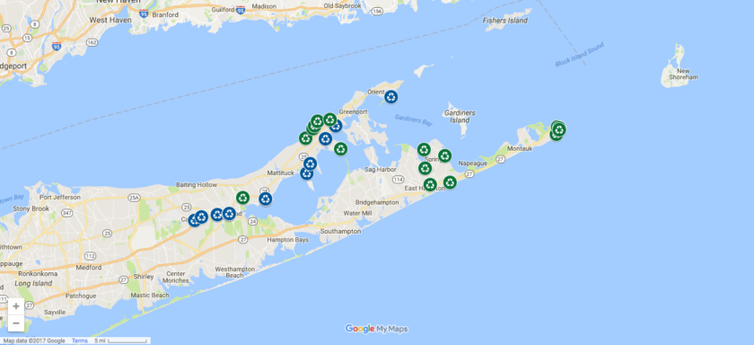
Informational maps about nitrogen pollution in the Peconic Estuary.
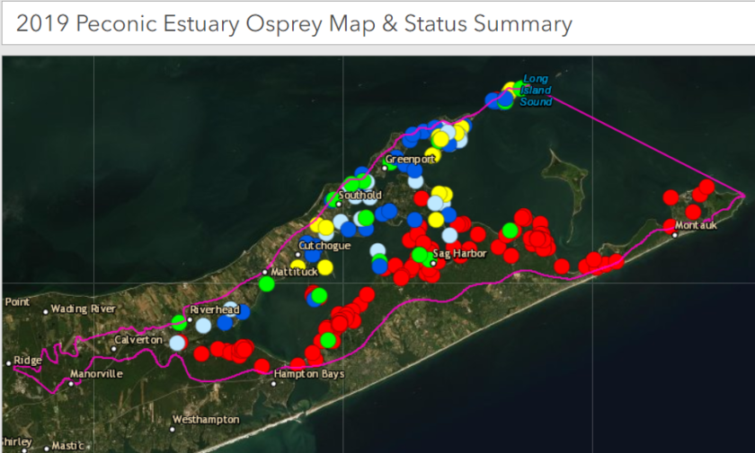
Informational map and status and summary about Osprey in the Peconic Estuary.
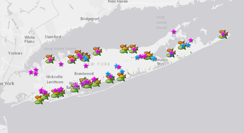
Recommended places to fish, hike, swim and birdwatch in the Peconic Estuary. The maps also list the best places for water-based recreation and places to launch your kayak and boat. Get exploring!
Sign up for News, Events and Information straight to your inbox.