Protecting & Restoring Long Island's Peconic Bays
Informational maps about alewife in the Peconic Estuary.
The River Revival Project Map identifies all of the more than 125 tributaries in Nassau and Suffolk County. It identifies where migratory fish have access and where they don’t, where river herring runs exists, and where reconnectivity projects are complete, planned or proposed.
The tributary mapping project is a collaborative effort between Seatuck, the Peconic Estuary Partnership and the Long Island Sound Study.
The range of river herring, blue back herring and alewife, on the Atlantic Coast.
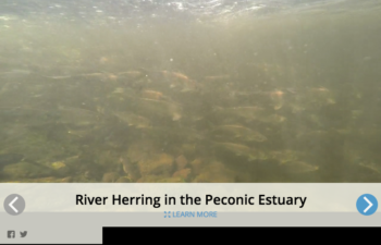
The Peconic Estuary Partnership trains volunteers every year to monitor for presence of alewife in freshwater tributaries from mid-March through May. Here are the priority areas we would like volunteers to check out!
Sign up for News, Events and Information straight to your inbox.